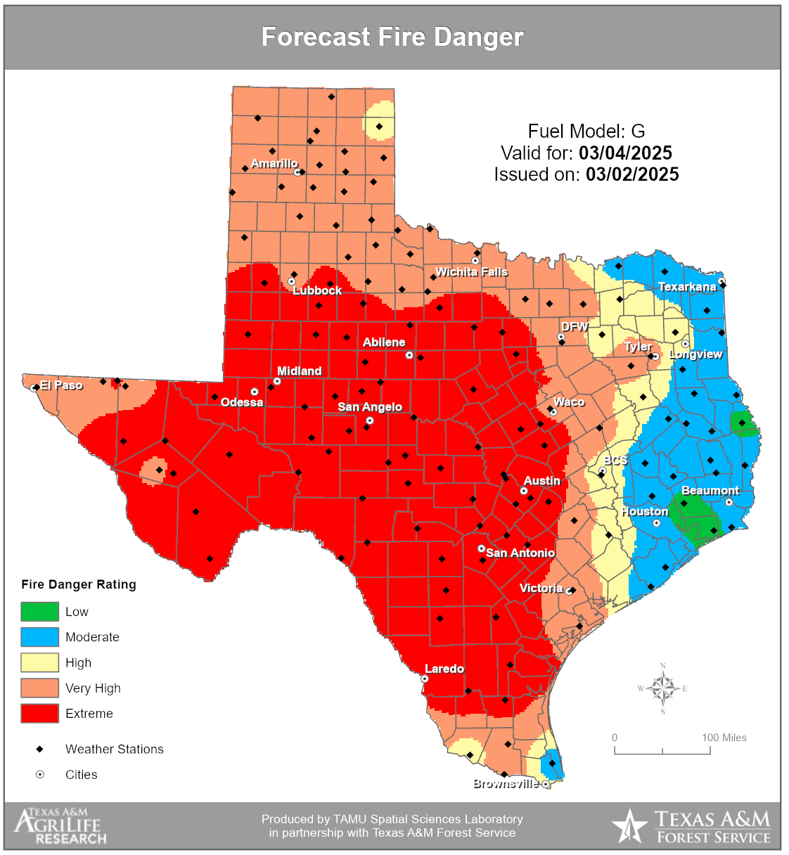
The National Weather Service has issued a Fire Weather Watch for Round Rock and all of South Central Texas from 8 a.m. to 9 p.m. on Tuesday, March 4. Strong winds, low humidity, and dry fuels will create very high to extreme fire danger throughout the day. Any fires that ignite could spread rapidly, making containment difficult.
Critical fire weather conditions are expected, with west winds reaching 25-35 mph and gusts up to 50 mph, relative humidity dropping as low as 5-15%, and high temperatures between 75-85 degrees. Dry vegetation across the region increases the risk of fast-moving wildfires.
Residents are urged to take extra precautions to prevent fire hazards and make sure they’re prepared for potential wildfires:
- Avoid outdoor burning. Debris burning is the number one cause of wildfires in Texas. Avoid burning on hot, dry or windy days.
- Properly discard cigarettes. Never throw cigarette butts on the ground, especially near dry grass.
- Secure objects outdoors. Strong winds may knock over outdoor items, creating additional hazards.
- Keep vehicles off dry grass. Equipment use is the second leading cause of wildfires. Hot car engines and exhaust systems can ignite dry vegetation.
- Create a go kit. Build a kit with people and pet supplies, prescriptions, important papers, personal needs and priceless items. Identify at least two evacuation routes and pre-load evacuation routes into your vehicle or cell phone. Sign up for emergency alerts at www.warncentraltexas.org.
If you need more convincing, check out this classic PSA featuring baseball icon Nolan Ryan, who reminds us that we each need to do our part to prevent wildfires:
The Fire Weather Watch may be upgraded to a Red Flag Warning if conditions worsen. Residents should stay informed by monitoring official weather updates from the National Weather Service and local media.
For updates, follow the City of Round Rock on social media or visit the National Weather Service – Austin/San Antonio at www.weather.gov/ewx.